Cycling on Anglesey
[ Ynys Môn in Welsh ]
The Isle of Anglesey (or Ynys Môn in Welsh) off the north-west corner of Wales, is a brilliant area for cycling. Quiet lanes, some of the best tarmac in Wales, and a backdrop of the Snowdonia mountains across the Menai Strait make for very pleasant cycling.
The island has lots of wonderfully unspoilt beaches, such as the one at Traeth Ligwy (map ref: SH 496 873), west of Moelfre on north-east coast. Traeth is Welsh for beach (more Welsh words).
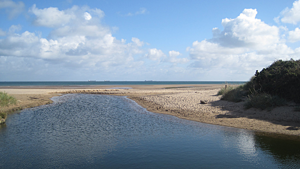
Being an island you expect to see lots of boats...
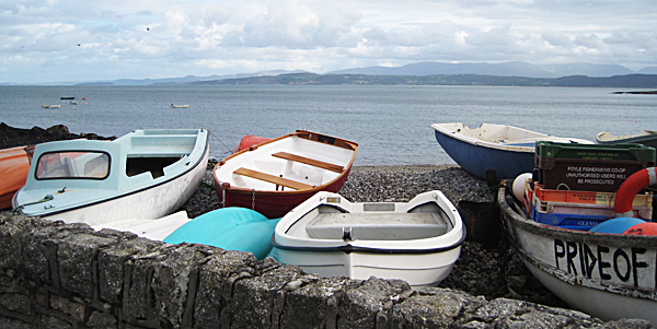
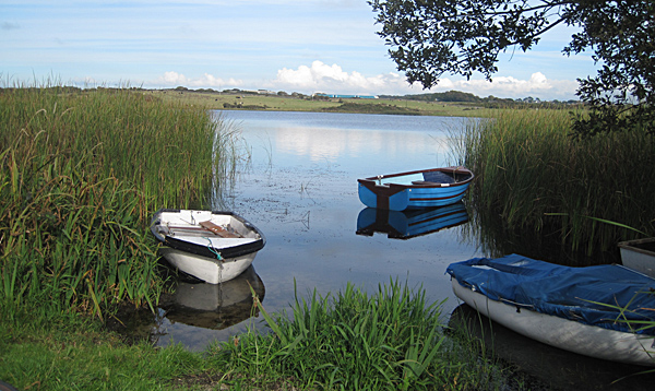
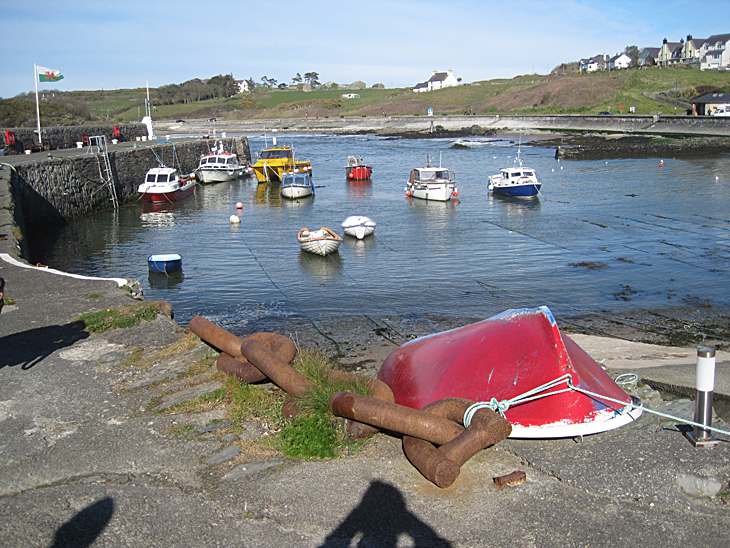
Cemaes Bay (below) on the north coast is a peaceful little town with a lovely harbour [see our Cemaes Ride]. The owner of the red boat seemed to think it was still worth securing it to the large chain even though it had a massive hole in it...
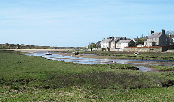
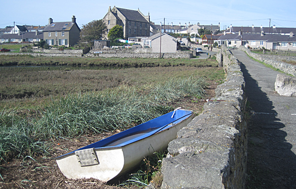
There are lots of little coastal villages. Aberfraw (next 2 photos) on the south west coast is a great place to start and finish a bike ride [see our Malltraeth March Ride which goes via Aberfraw].
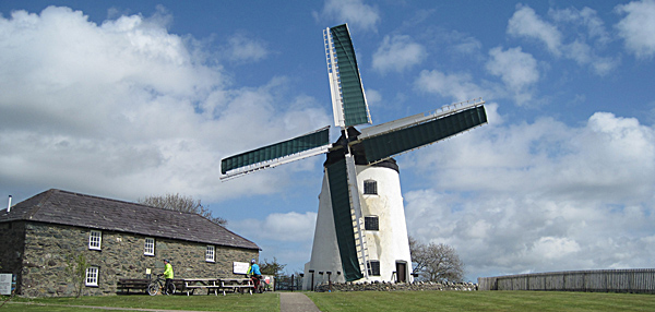
As you cycle around you're bound to notice lots of derelict windmills. There were about 50 windmills on Anglesey. Now many have been 'Grand Designedly' converted into bijou houses. Melin Llynnon (below; map ref: SH 340853) on National Cycle Route 5 & Route 556 is the last working windmill in Wales. Constructed in 1776, the restored mill is now a tourist attraction. It's also worth cycling along the narrow lane past the nearby derelict watermill (map ref: SH 351 846; not open to the public but you see most of it from the outside) one mile south-east.
Their are also 4 very interesting redundant churches on Anglesey cared for by the The Friends of Friendless Churches at Llantrisant, Llanfigael, Tal y Llyn and Llanbeulan. You should try to include a visit to all four if you can.
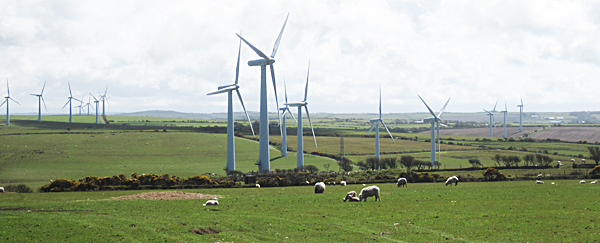
The other thing you may notice as you cycle around, is the wind. This can be a bit of a drawback if you're on a bit of exposed road. The wind has always been put to go use, hence the large number of old windmills. Today wind turbines dot the island. We're not fans of turbines, but even we have to admit that they seem to look good in this landscape. Don't worry, the island isn't totally covered by turbines.
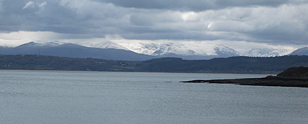
All these photos were taken during the spring or autumn. The below photo was taken in May 2016. The Snowdonia mountains over on the mainland was covered with late snow...
The great thing about Anglesey is that nearly every little lane is worth trying, you don't have to follow designated cycle routes. Just follow your nose. Go where want. Stop where you want. Turn back when you've had enough.
Now that we've whetted your appetite, go to Cycle Routes on Anglesey for some route ideas.
Cycling Maps
 Sustrans
North Wales Cycle Map - shows on-road and traffic-free cycle
paths, height contours, 5 town centre maps, recommended linking
routes connecting the National Cycling Network with quiet roads.
Includes the Lôn Eifion, Lôn Las Cefni, North Wales Coast Route,
Chester to Connah's Quay Greenway. Published by Sustrans. 1:110,000
scale.
Or buy the ordinary Ordnance
Survey Landranger map Number 114 covering Anglesey from
Amazon.co.uk; scale 1:50 000 (1.25 in to 1 mile), about £9.
Or let someone else do the research and join a guided bike ride on Anglesey with Green Lane Bike Tours.


